The archeological
site known as Niya (hereafter referred to as the Ruins of Ancient Niya), which
lies deep in the Takla Makan Desert on the southern rim of the Tarim Basin in
present-day Xinjiang Uyghur Autonomous Region, has been called the Pompeii of
the East, owing to Niya having been buried, quite suddenly, as had ancient
Pompeii ages earlier. Or so it seems, for no one really knows what caused the
residents of Niya to abandon their city in such a panic that they even left their
dogs tethered in front of their houses, apparently fleeing for their lives from
some unknown-to-us, impending calamity.

Located in the
desert 150 kilometers (approximately 93 miles) from Minfeng
County in Hotan, it is a major
national cultural relic According to historical records, it was once the site
of the Jingjue Kingdom
which was occupied by the western minorities in ancient China Takla Makan
Desert , lying to the north of Niya River Pompeii

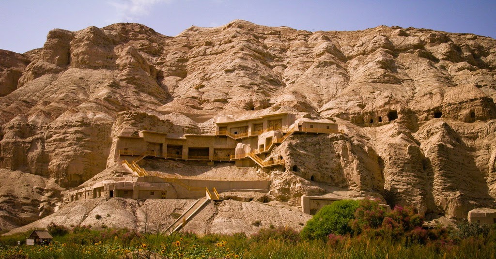
The ancient city
is surrounded by rolling sand hills and was first discovered in 1901 by a
British explorer. Wooden implements, stone implements, bronze wares, iron
wares, pottery, woolen goods and even remnants of food such as wheat, highland
barley wild oat, mutton, and pork were excavated. The cotton clothes unearthed
are regarded as the earliest cotton textiles that can be found in China China China , the
history of Silk Road and the cultural exchange between China
Nowadays, the
local Cultural-Relic department has set a Cultural-Relics Agent who imposes a
high fee to the exploration teams. In order to develop the travel industry, a
sealed access road has been constructed. Here you can also see the relics of
houses, courtyards, furniture, artwork, Buddhist pagoda, and coffins, each of
which was made by drilling on one log.
For more information,
please visit http://top-chinatour.com